Blake Schulz · 15 September 2026
Nookwood's Hidden Water Channels Reveal Patterns in Regional Conservation History
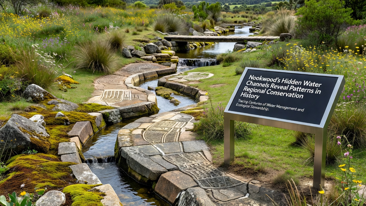
Explorations in Nookwood have uncovered an extensive system of hidden water channels that trace back through decades of regional land management decisions, and these findings connect directly to shifts in conservation practices across the area. Researchers mapped the network using ground-penetrating radar along with historical aerial photographs, which revealed channels that were altered or concealed during earlier periods of development and restoration work. The channels show how water flow responded to interventions like reforestation projects and drainage modifications that began in the mid-twentieth century, while later adjustments reflected changing priorities around habitat protection and flood control.
Mapping Techniques and Initial Findings
Teams began systematic surveys in early 2025 and completed detailed analysis by September 2026, when updated satellite data combined with on-site measurements confirmed the full extent of the underground routes. These routes extend beyond visible streams and include engineered sections that were covered during road construction and agricultural expansion phases. Data from the United States Geological Survey provided baseline hydrological records that matched many of the newly detected paths, which allowed researchers to date specific modifications with greater precision. The process demonstrated that many channels had been rerouted to support timber harvesting in the 1960s before later efforts redirected flow to preserve wetland zones.
Historical Patterns Emerging from the Channels
Analysis of sediment layers within the channels points to repeated cycles of human influence on regional water systems, and these layers contain markers from periods when conservation policies emphasized erosion control over biodiversity goals. One study revealed that early interventions focused on straightening flows to reduce flooding risks near settlements, whereas subsequent work in the 1980s introduced meanders and retention basins to support native plant recovery. Evidence from core samples indicates that water quality improved after those later adjustments, because reduced runoff carried fewer sediments into downstream areas. Observers note that the patterns align with broader regional shifts documented in conservation records, where priorities moved from resource extraction toward ecosystem restoration.
Connections to Broader Regional Efforts
The channels also intersect with sites of documented reforestation campaigns that occurred between 1975 and 1995, and these intersections highlight how vegetation changes influenced water retention over time. In areas where native tree species were replanted, the channels show slower flow rates and increased groundwater recharge compared to zones that remained under agricultural use. Figures from Environment and Climate Change Canada on similar northern forest systems provide comparative data that supports these observations, because parallel projects there produced comparable shifts in hydrology after comparable planting initiatives. Researchers continue to cross-reference Nookwood findings with those external records to identify consistent indicators of successful long-term conservation measures.
September 2026 Survey Outcomes
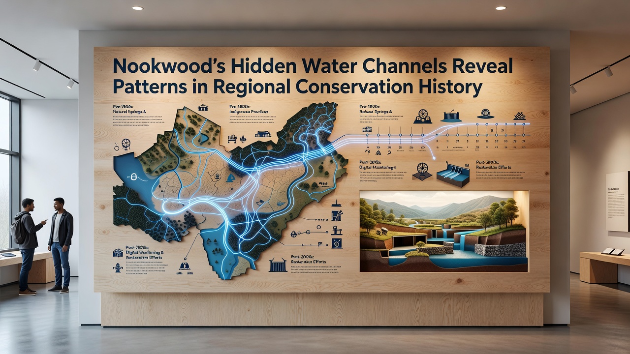
By September 2026 the survey results had been compiled into a public dataset that local agencies began incorporating into updated management plans, and this integration allowed for more accurate modeling of future water distribution under varying climate conditions. The dataset includes three-dimensional renderings of the channel network along with timelines that link each segment to specific historical events such as policy changes or extreme weather periods. Those timelines help explain why certain sections remained stable while others required repeated maintenance, because underlying geology interacted differently with each type of intervention. Ongoing monitoring stations installed during the final phase of the project now track seasonal variations in real time.
Implications for Ongoing Conservation Work
Current planning processes draw on these channel patterns to prioritize areas for additional habitat corridors, because the historical data shows which modifications produced lasting benefits for local wildlife movement. Restoration teams have started using the mapped routes as guides when designing new buffer zones that reduce erosion without disrupting established flow dynamics. Records indicate that similar approaches in other regions yielded measurable increases in species diversity within five to ten years of implementation, and Nookwood managers expect comparable outcomes based on the sediment and vegetation evidence already collected. The work continues to expand as additional sections of the network undergo detailed examination.
Conclusion
The hidden water channels in Nookwood provide a continuous record of how regional conservation strategies evolved in response to both environmental pressures and policy developments, and the September 2026 survey results have made those connections more accessible for future decision-making. By combining modern mapping tools with historical documentation, researchers established clear timelines that link past actions to present landscape conditions. The resulting information supports targeted efforts that build on successful prior approaches while addressing remaining challenges in water management and habitat connectivity across the region.